Three in a row: Snow expected tonight
Published 5:19 pm Friday, January 28, 2022
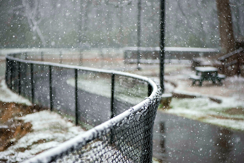
- Salisbury Post file photo - The black fence at Granite Lake Park in Granite Quarry collected flakes and made for a good contrast in 2020.
By Madeline Wagoner
SALISBURY — For the third weekend in a row, up to 2 inches of snow is expected to cover the grounds, roads and rooftops in the Salisbury area.
There is a 30% chance of light rain this afternoon to evening before transitioning to snow or sleet. The area is under a winter weather advisory. Winds are expected to be 15 mph, and strongest in mid-morning through mid-afternoon Saturday with gusts up to 25 mph.
Rowan County Emergency Management Division Chief T.J. Brown emphasized the importance of cautious travels because roads may be icy during the weekend. Mixed precipitation is possible during the Friday evening commute. Where snow does fall tonight, areas of black ice could occur Saturday morning. Individuals are encouraged to stay home if possible until the ice has time to melt with warmer temperatures.
The National Weather Service predicts this evening’s low temperature of 24 degrees will keep the snow in place overnight before reaching a high of 38 on Saturday. With the sun coming out, this weekend is expected to get warmer, with a high of 48 degrees Sunday.
For both of the previous two weekends, winter storms have brought 2-3 inches of snow, requiring school, church and athletics cancellations. The Rowan-Salisbury School System also canceled all athletics events this weekend because of expected weather.
Submit photos of snow in your area on Saturday for publication in the Sunday print edition of the Salisbury Post by emailing news@salisburypost.com. Include the location the photo was taken as well as the first and last names of anyone pictured in the images. Photos will also be published on salisburypost.com.

