Rowan weather: Hottest days of year coming up
Published 7:52 am Friday, July 22, 2016
The N.C. Department of Environmental Quality has issued a code orange air quality action day for ground level ozone until 8 p.m. tonight.
Today will be sunny with a high of 93 and light southwest winds. Isolated thunderstorms will develop this afternoon and evening, with the possibility of frequent cloud-to-ground lightning, locally heavy rainfall and gusty winds.
A 20 percent chance of showers and thunderstorms is possible tonight, with a low of 71. The wind will be calm.
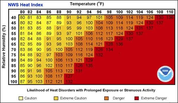
Excessive heat is possible Saturday, with a forecasted heat index at 100 to near 105 degrees. This will remain a problem through Monday, with the Piedmont expected to have the highest heat index.
The high Saturday will be 95 with light southwest wind. The low will be a very warm 75.
Sunday’s high will be 95 with light southwest wind and mostly sunny skies. The low will be 73.
Monday’s high will be 94, with a 30 percent chance of showers and thunderstorms from 3 p.m. on. It will be mostly sunny. The chance of rain continues Monday night, with a low of 74.
Little relief arrives Tuesday, with a high of 90, partly sunny skies and a 30 percent chance of storms and showers after 1 p.m. The same chance of rain sticks around Tuesday night, with a low of 72.
Wednesday also has a 30 percent chance of showers, and will be partly sunny and 90. The low will be 72.
Thursday will be mostly sunny and 89 with a 30 percent chance of showers and thunderstorms.