Rowan sees more than 2.5 inches of rain, more coming
Published 12:00 am Thursday, October 1, 2015

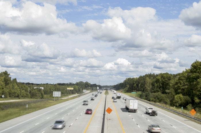
- Clouds hover over I-85 on Wednesday, the first day without overcast skies and rain in a five-day stretch. More rain is projected in the next seven days, possibly leading to flooding in some areas. Josh Bergeron/Salisbury Post
By Josh Bergeron
josh.bergeron@salisburypost.com
Rowan County finally saw sunshine Wednesday, but state officials are worried about potential flooding associated with projected weekend storms.
After five straight days of rainy weather, clouds cleared Wednesday and made way for a few rays of sunshine. U.S. Geological Survey rain gauges show Rowan receiving upwards of 2.5 inches of rain in some locations during the seven-day period ending on Wednesday. Rain gauges show rainfall totals increasing closer to the Piedmont Triad metro area and toward the North Carolina-Virginia border.
Rowan County’s next potential for rainfall comes today through Saturday. Weather agencies and the N.C. Office of Emergency Management are projecting up to 5 inches of rain for Rowan County from today until Oct. 7.
The largest observed rainfall totals in Rowan occurred on Sept. 25 and 26, according to National Weather Service data. Some areas of Rowan received up to 1.5 inches on Sept 26. Rainfall of up to 1.5 inches was more common on Sept. 25, according to graphical models.
The steady storms soaked the earth in all parts of Rowan, but that hasn’t done much for drought conditions that have significantly decreased crop yields for local farmers, according to National Weather Service data. Graphical models show a large swath of western Rowan County as up to 16 inches below average in rainfall for the year.
Most areas of Rowan are close to average rainfall or slightly above average so far in September.
Rowan, however, is fairing much better than areas to its west — Cleveland County and areas of northwestern South Carolina.
Areas of the North Carolina coast have seen rainfall totals significantly above average. In some areas, totals reach 20 inches above normal rainfall.
However, Mother Nature hasn’t quite finished dropping rain on Rowan. Some areas of Rowan County and surrounding communities saw rain on Wednesday. Forecasts show a more than 50 percent chance of rain until Monday.
Saturday and Sunday present the highest chances for rain, according to weather forecasts. Rainfall totals are projected to be near a half inch for both days. A recently named hurricane poses additional rain potential for areas of North Carolina. The storm — Hurricane Joaquin — was more than 150 miles away from the Bahamas on Wednesday afternoon. It’s unclear what the storm might mean for areas of the Piedmont and Rowan county.
State officials say Joaquin and other storm systems could lead to potential flooding and wind gusts in some areas of North Carolina.
In a news release, Gov. Pat McCrory and other state officials warned all North Carolina residents to be prepared for this weekend’s weather, which could include flooding.
“The combination of wind gusts from various weather systems and any additional rain from Joaquin could lead to downed trees and power outages in many areas, not just the coast,” McCrory said.
N.C. Emergency Management Director Mike Sprayberry said flooding is possible regardless of whether Hurricane Joaquin makes landfall in North Carolina.
“We can expect flooding in poor-drainage spots and low-lying areas,” Sprayberry said. “Regardless of the impact of Hurricane Joaquin, North Carolina has the potential for life-threatening flooding within the next week. We don’t know yet how much or how widespread the flooding will be, but we know there will be flooding.”
Contact reporter Josh Bergeron at 704-797-4246.


