Capt. Gus: Night navigating tough
Published 12:00 am Thursday, May 12, 2011
If youíve ever taken a sunset cruise to a lakeside restaurant for the first time, did the thought occur to you that it might be dark when it came time to leave? Believe me; a car ride home is much easier than a boat ride on a dark unfamiliar lake when no one knows the way back by water.
What to do? The first option, and maybe the best one, is to leave the boat tied to the dock and call a taxi. But, that seldom happens.
Usually, what does happen, is that one person steers the boat while another gives directions based on what he or she can interpret from a lake chart with a flashlight. Most maiden voyages at night end successfully, but they are not fun.
To better prepare yourself for an initial night cruise, consider the following.
First and foremost; do not attempt to operate a vessel at any time without first having completed a boating safety course.
Next, for the first few night trips, take someone on board with experience to coach you.
Check the function of all navigation, interior and spot/flood lights before leaving the dock.
Learn how to use and interpret your boatís depth finder and compass. Both should be lighted for operation at night.
Have a lake map/chart on board.
Run at slower speeds in low-light situations and at night.
Assign someone to watch for oncoming traffic and water hazards.
Use docking lights only when approaching the landing site. They are not intended to be used as headlights.
When in doubt, stop the boat, particularly if the water becomes shallow.
Training, experience, and ěhow toî knowledge of using basic equipment is of upmost importance, but one of the most useful tools for night navigation is a Global Positioning System.
A GPS unit provides the user with a lot of good information.
It not only identifies the location of the boat on the chart/map, but it shows lake details, including channel markers, river and creek channels, islands and bottom contour changes.
In addition, a feature can be enabled to show a trail of everywhere your boat has traveled during the trip. That trail can be retraced on the return voyage, and will reduce the chance of running aground or becoming lost.
Some call it the ěbread crumbî feature, but whatever the name, it makes getting home in the dark much easier.
Handheld GPS units can be purchased for $100. Permanently mounted console units are more expensive. It is safe to say that marine GPS units arenít quite as easy to learn to use as those in todayís automobiles, but the basics can be mastered in less than an hour and itís well worth the time spent.
Tips from Capt. Gus
White perch and bream, either live or cut in strips, are excellent baits for blues and flathead catfish.
Upcoming events
Free Seminar ó ěHow to Safely Navigate Lake Norman Using Sonar and GPS.î Join me at 6:30 p.m. Wednesday at North Point Watersports, 112 Doolie Road, Mooresville to learn the ěBasics of Sonar and GPS.î Bring your questions and instruction booklets to this 90-minute boating safety session. Call 704-617-6812 for more information.
Free Fishing Seminar ó ěHow to Catch White Perchî will be held at Gander Mountain, Exit 36, Mooresville, at 6:30 p.m. on Wednesday, May 25. This session will be conducted by local author, Jake Bussollini and me. Bring the whole family to this informative and entertaining seminar. For more information, call 704-658-0822
Hot Spot of the Week
Catfish and white perch have become very active with the warming water temperatures. Fishermen drifting cut baits are catching large blues and flatheads.
Channel cats are hitting chicken livers and stink baits in back coves. White perch are being caught in cove valleys and creek runs at depths to 30 feet. Best baits are small minnow, and sabiki rigs.
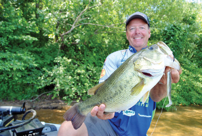
Bass fishing is best around docks and fallen trees using soft plastics and spinner baits. Some of the best spotted bass fishing is around the N.C. 150 Bridge and in the back coves of Mountain and Beaver Dam Creeks.
The surface water temperature varies by location, but is mainly in the 70s in open waters not affected by power generation. The water level is about 2.2 feet below full pond on Lake Norman and 3 feet below full pond on Mountain Island Lake.
Capt. Gus Gustafson of Lake Norman Ventures, Inc. is an outdoor columnist and a full-time professional fishing guide on Lake Norman, NC. Visit his web site, www.Fishingwithgus.com or call 704-617-6812.